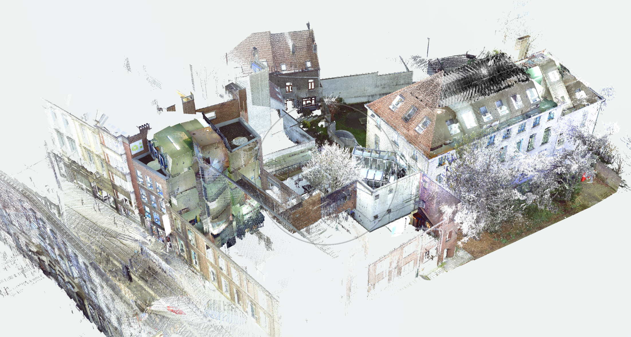
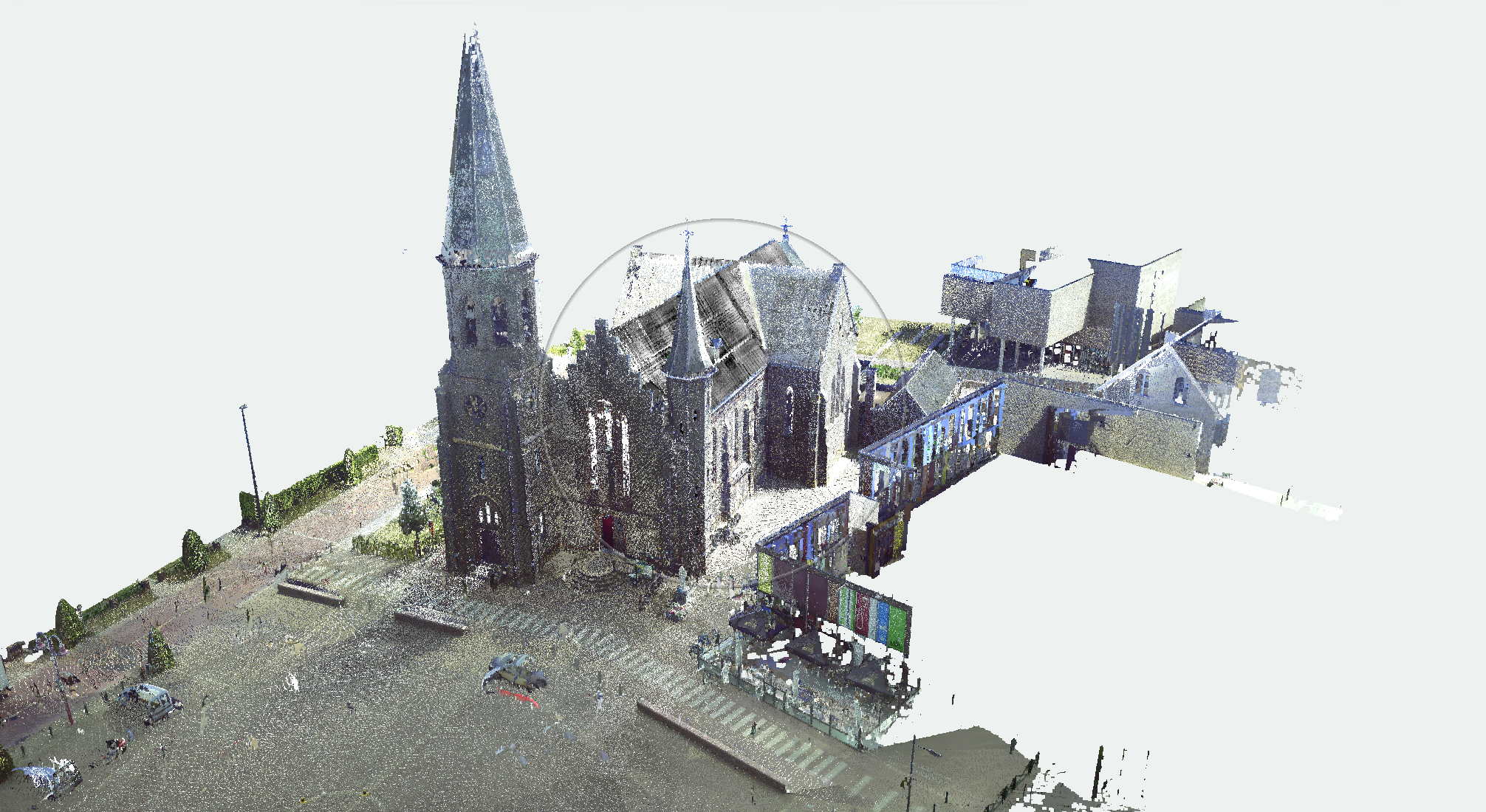
Pointcloud
An example of a point cloud
An example of a point cloud
The Faro Focus3D is a rotating laser that establishes – from 976,000 points a second – the XYZ coordinates as well as the colour and degree of reflection. This makes it possible to measure complex spaces in a relatively straightforward way, with the utmost precision.
Using reference points introduced by us in the space, it is possible to connect the various scan positions together into one point cloud.
This point cloud is a precise 3D model of the visible space.
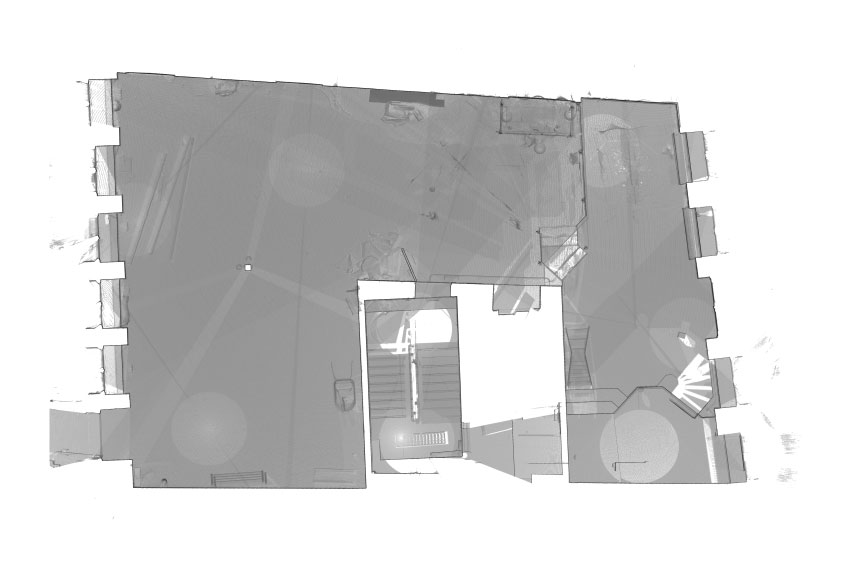
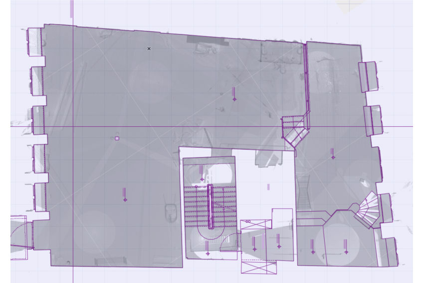
From this point cloud it is possible to make sections that are easy to input into the majority of CAD programs.
With the vertical and/or horizontal sections scanned in as a basis, CAD diagrams are created that can be inputted in DWC or DXF format, among others, in the majority of fully-fledged design programs.
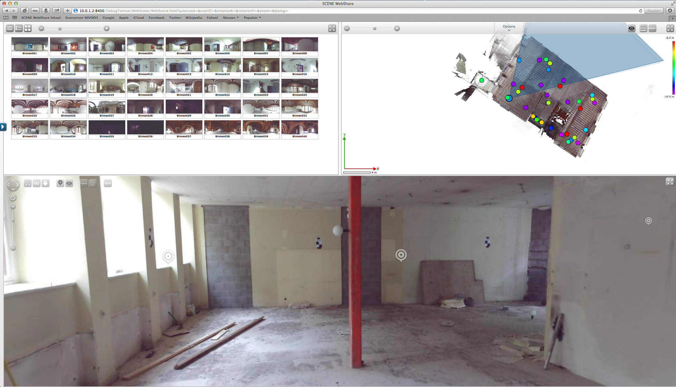
In order to gain insight into the reality presented through the plans, you have access to the scan server.
Once logged in with your password, you have the opportunity to visit the premises virtually from any location where you have an internet connection.
You are able to tour the premises and look up the necessary information.
You can gather additional photographs or take measurements, and avoid unnecessary journeys.
In short, you can visit the premises from your office.
This offers incredible possibilities for anyone who has to manage multiple buildings.